
Content Taken From http://blueskyscotland.blogspot.co.uk
My love letter to Nitshill and Pollok. Mind you, if anyone passes through the area now, without a guide dog, as a casual visitor, they might well be tempted to think... is he on drugs? If not maybe he should be... then sedated and kept safe in a soft walled apartment.
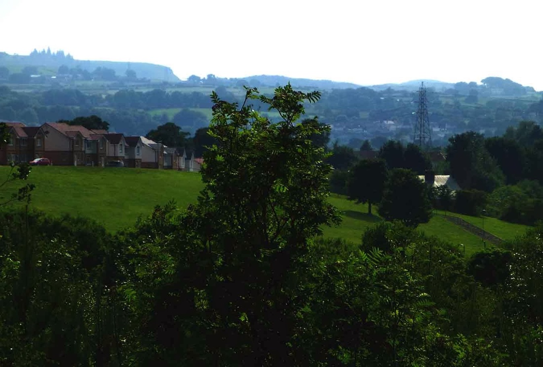
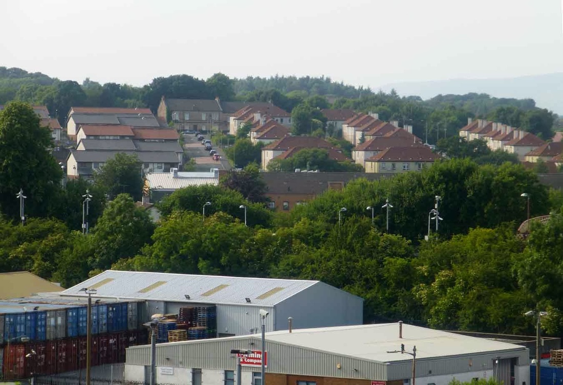
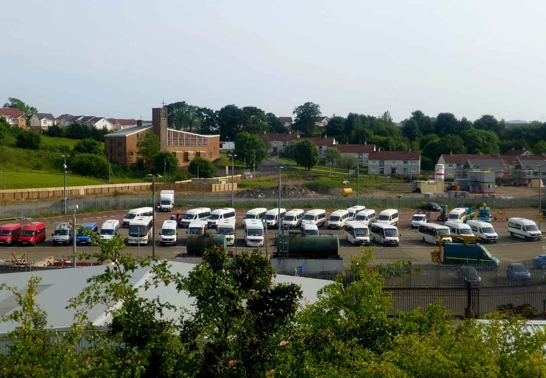
However, to many an adventurous youngster growing up here years ago it had much to offer.( the photo above was taken on a zoom from Priesthill near the demolished water tower looking over at South Nitshill, Renfrewshire and Barrhead beyond. From this modest hill and many others in the district ( Pollok was constructed over an undulating sea of Drumlins) great views are granted and it enjoys some of the best panoramas over the city anywhere in Glasgow.
It's also a gateway to some of the finest lowland scenery in Scotland with a network of streams, rivers woods, gorges, waterfalls, reservoirs and rolling hills providing decades of adventurous weekends to anyone lucky enough to live here.
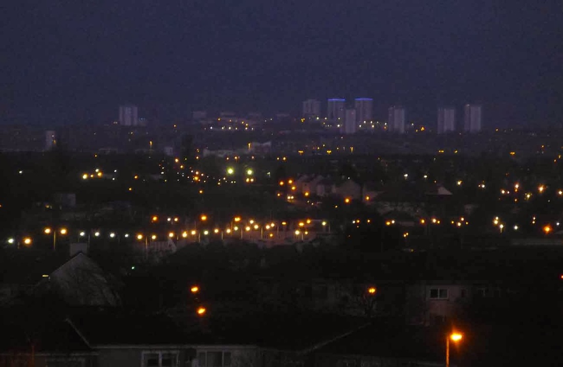
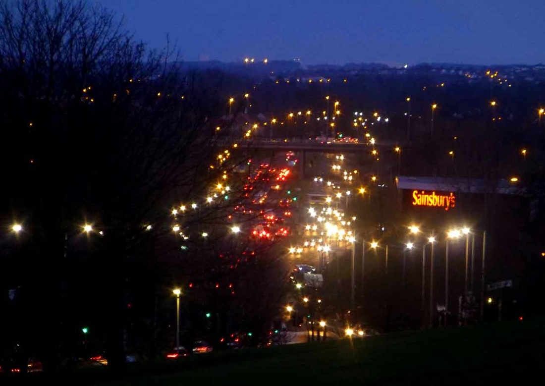
A misty night time shot over Glasgow from South Nitshill. Probably Cleeves road then Peat Road judging by the ribbon of neon lights.
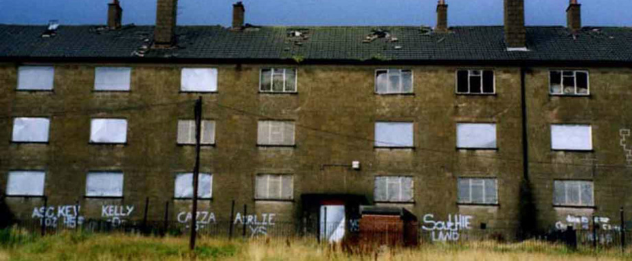
One of Old Nitshill. Back in the early 1900s this was a small mining village in Renfrewshire which had the declining legacy of coal mines, lime works, a chemical works and a fireclay works on its doorstep as reminders of its industrial revolution heritage. At one time it was a busy powerhouse at the peak of production on the outskirts of the city where green fields filled with cows and horses grazed peacefully in a rural environment yet only a short walk away coal miners laboured far underground, lime and fire clay workers toiled and folk earned a living any way they could. Nitshill and the nearby Hurlet served as the hub of that enterprise with the railway passing through it and half a dozen pubs and a few shops clustered around the main street for entertainment. Even today Pollok has as many, if not more, trees and green spaces within its boundaries than the vast Pollok Country Park can boast.
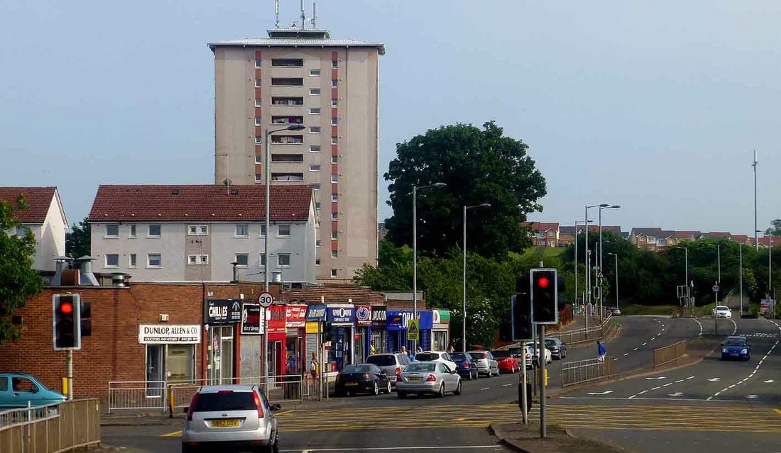
The main street in Nitshill hasn't changed that much in its layout in 100 years and would still be recognizable to someone from the 1940s. This is the current row of shops, presumably built when Pollok was born around the 1940s and 1950s.
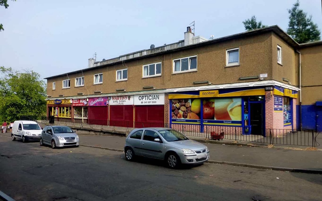
Craigbank shops further up on Nitshill road. This road in the photo leads into Newfield Square where I believe tennis courts( and or a bowling green) and a football pitch used to be before it was grassed over.
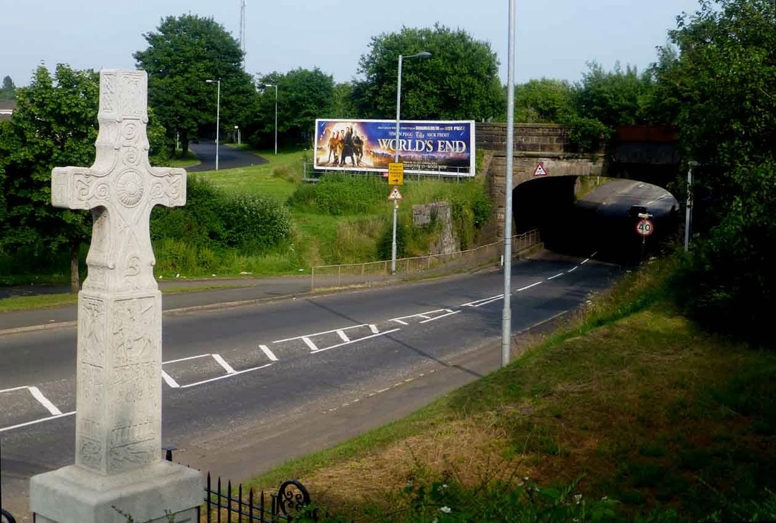
Nitshill Tunnel is still there and the road still constricts to squeeze through it. Just beside this cross stands another memorial to the Victoria Pit Disaster, which was the biggest mining accident of its day in the deepest pit in Scotland. Great link here to loads of interesting stuff- not just the pit as Barrhead has a fascinating industrial heritage of its own and exported its products all over the world. I grew up sitting on a reliable Shank's toilet as did half of Glasgow.
http://www.barrheadheritagetrail.co.uk/index.php?id=18
I remember playing here in this green triangle when young and having no real understanding of the history as I just liked the slope, the bushes, and the cooing pigeons as they shuffled away from me as I edged along the dark passage hole of the second tunnel which, before it was blocked off, led you round to the back section of the sloping railway wall hidden from the road. My first climbing wall. There was also a dirty shelf of rock that formed a platform against the roof of the tunnel which was a magnet for young kids to scramble up much to the horror of their parents who had to wash the ruined clothes covered in pigeon shit afterwards.
This is the view from the railway station exit. Immediately across to the right of this picture an old tenement used to stand, which I think was a pub. The Volunteer Arms and the Railway Inn ring a bell. I was too young at that time to have any real memories of them though as they were the first pubs to shut down. I do vaguely remember the open patch of ground and a few low cottages where the trees on the right are now but only because I fell out of a large tree beside them. Well, it seemed large at that time from a swift decent perspective. I was hunting birds eggs as a pastime then.
During and after the industrial revolution, nearby Neilston and the Levern water that flowed through it saw large scale cotton mills and weaving sheds spring up. Coat's thread mills at Paisley; bleach works at Darnley and Thornliebank along with a printing works on Spiersbridge road, where the owls used to hoot, and an extensive water holding series of ponds to provide a steady supply of clean water to the works downstream, to be released on demand, could all be seen 30 years ago. The frame work and the holding ponds are well worth a visit and can still be easily traced out for anyone interested if they go to Rouken Glen Park and enter by the first main gate where the five a side football and garden centre is. As soon as you enter the gate to the car park keep right then take a narrow path away from the parked cars down through the trees to the Auldhouse burn where the visible remains of wooden sided ponds, massive sluice gates, man made slipways and canals become obvious.
During and after the industrial revolution, nearby Neilston and the Levern water that flowed through it saw large scale cotton mills and weaving sheds spring up. Coat's thread mills at Paisley; bleach works at Darnley and Thornliebank along with a printing works on Spiersbridge road, where the owls used to hoot, and an extensive water holding series of ponds to provide a steady supply of clean water to the works downstream, to be released on demand, could all be seen 30 years ago. The frame work and the holding ponds are well worth a visit and can still be easily traced out for anyone interested if they go to Rouken Glen Park and enter by the first main gate where the five a side football and garden centre is. As soon as you enter the gate to the car park keep right then take a narrow path away from the parked cars down through the trees to the Auldhouse burn where the visible remains of wooden sided ponds, massive sluice gates, man made slipways and canals become obvious.
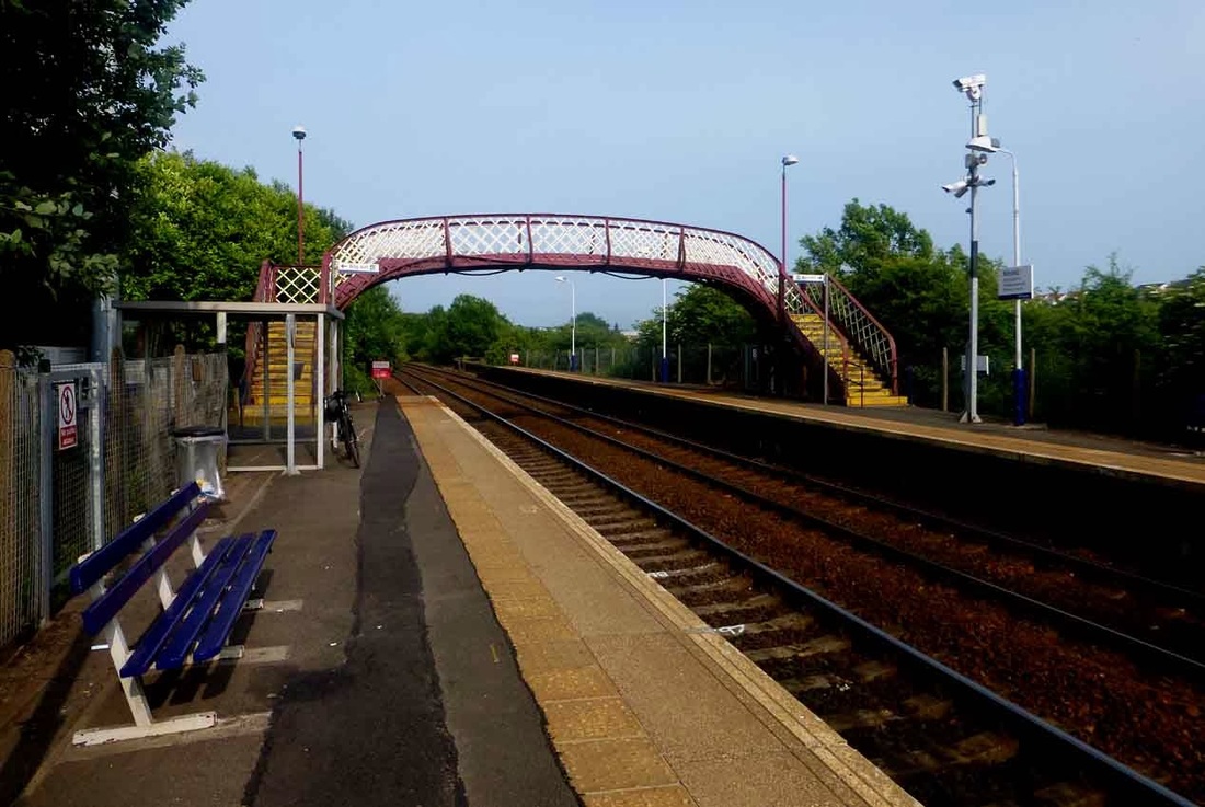
Nitshill Train Station today. Opened in the late 1840s and not much changed either apart from the rolling stock and a definite cut back on facilities. No station master, cosy waiting room or paper stand here yet passenger numbers increase steadily year by year.
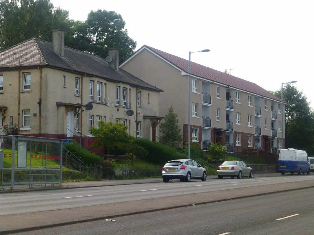
Further up Nitshill road in the direction of the Hurlet these two buildings remain unchanged since the 1960s. The first three streets going up Seamill Street:- Maybole, Galson, and the lower half of Darvel street seem older than the top half where the tenements used to be. Maybe 1920s or 1930s style at a guess though they have been modified slightly and upgraded since then. The top section where the three and four story tenements once stood have seen the greatest transformation.
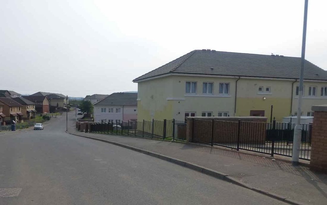
This is Pinmore Street looking uphill from near Darvel Street which is now a cul de sac affair. The yellow building on the right used to be a larger tenement (all four story blocks?) and a row of these at right angles ran on this side to the top of the hill.
Same area viewed from South Nitshill. The row of solid cottage type houses at the top of this scheme date from the early 1900s by the look of them; part of the original old Nitshill village, and are still in use to this date. Quality buildings like these always last the longest in any area.
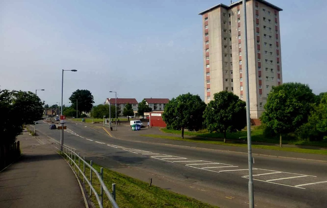
South Nitshill now. A view from the railway station bridge looking at St Bernard's and the takeaway.
Where the van park now exists the local Primary school used to stand and before that it was just grassy pleasant farmland with a swampy bit at the lowest point. The first foundations of the newly build school kept on sinking downwards and it took perseverance and ingenuity to get a solid base on which to plant the education chamber. The orange half of the scheme were soon herded into here, much to the priest's disgust no doubt as he had to look across at it every day:)
The Catholic kids got an identical new school, a twin of this one, shortly after beside Dove street in old Nitshill and harmony was restored.
A view of the modern South Nitshill.2014. Back in the 1960s I seem to remember a small church up on the hill. I was persuaded to go to Sunday School there once, where we learned about Jesus suffering and got a cake afterwards. It obviously didn't take. The great advantage of being a Protestant that I've found is that you don't really have a disciplined religion and nobody bothers afterwards if you pack it in. I was only religious for that one morning service as after I got my cake I went back to birds eggs and nature and forgot all about Jesus suffering since climbing trees seemed a lot more fun than being nailed onto one in your prime of life. This church didn't last long and closed down after a few years then disappeared, almost overnight. Burned down perhaps? The old Darnley Fire Station used to stand at the foot of this hill.
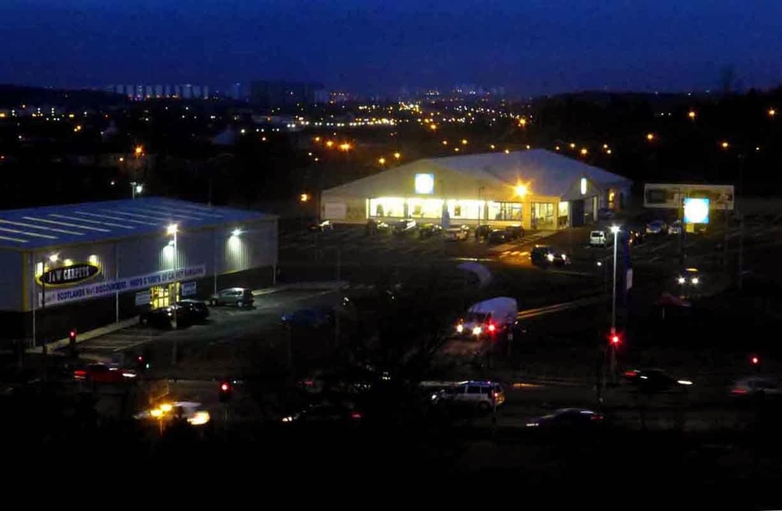
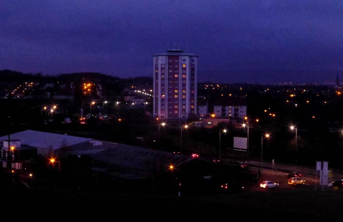
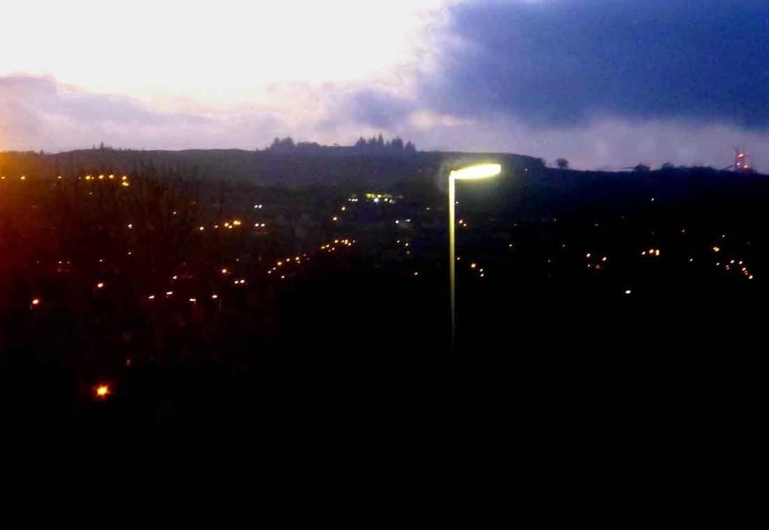
Although it's only a couple of hundred feet high the views in all directions at night are stunning.
Glasgow City from South Nitshill.
Glasgow City from South Nitshill.
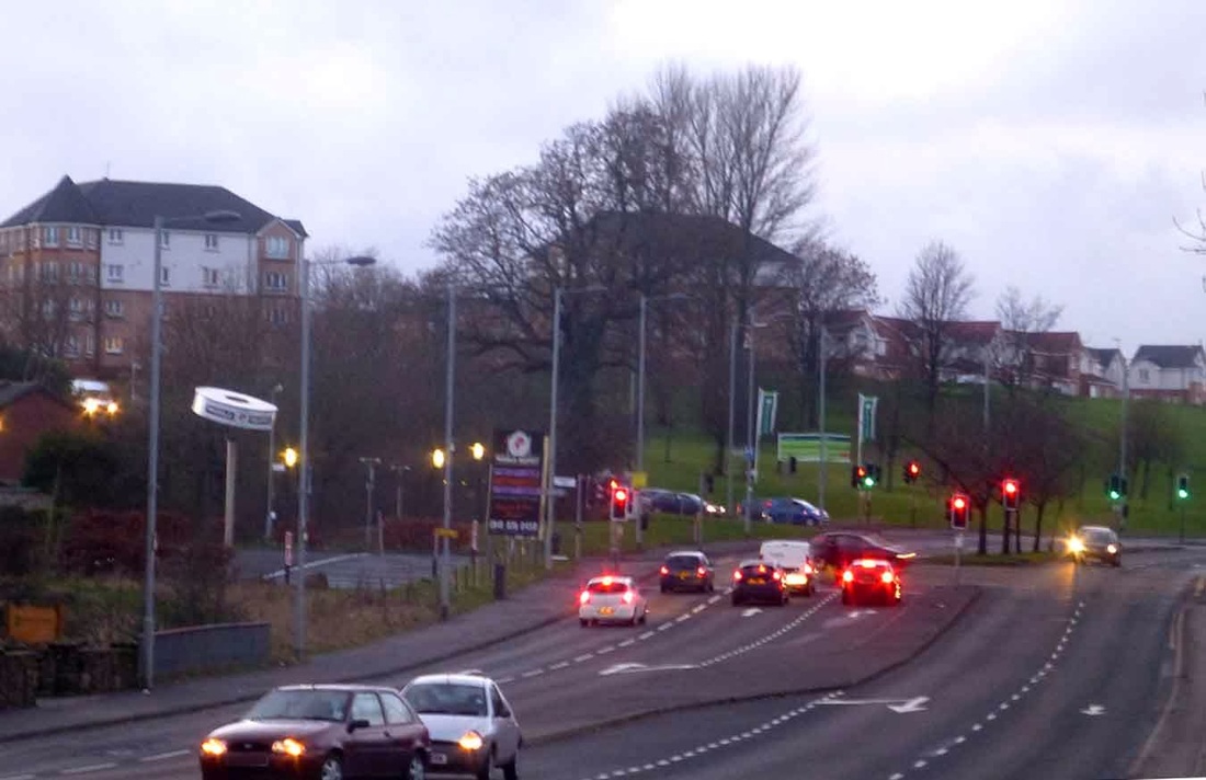
Nitshill Road taken from where the church once stood at the top of the steps. Rush hour traffic. Darnley and Arden in the distance.
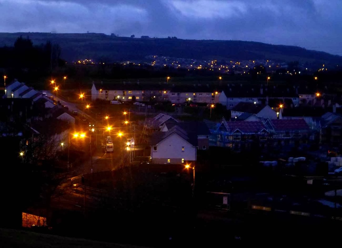
A twinkling view over the valley to the Brownside /Gleniffer Braes and the lights of Barrhead. Some of the miners used to walk five miles from here, put in a long hard shift at the mine then walk back to Barrhead again at night, six days a week. Needless to say leisure time for the average person then in the 1800s was non existent. God bless the Sabbath. The one day you could rest and sleep.
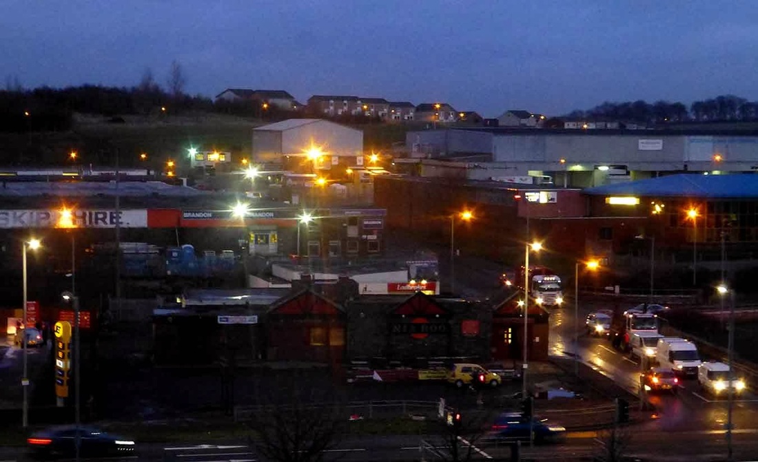
The Nia Roo Pub and Priesthill.
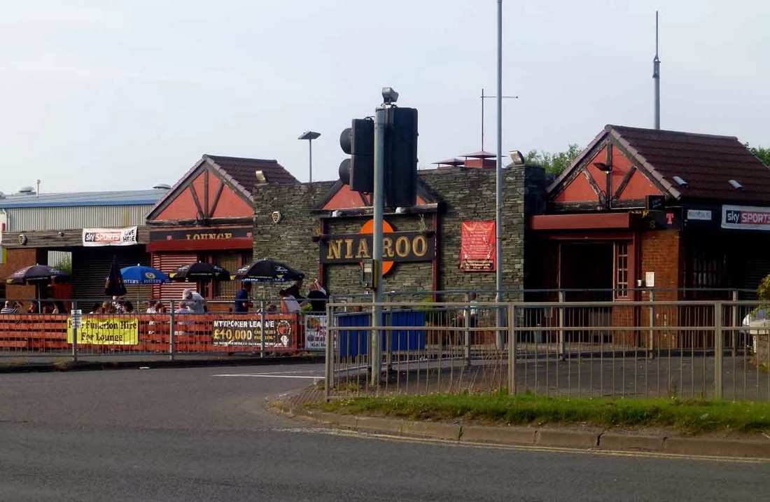
Nia Roo again. Still open- still going strong in 2014. I remember a flooded quarry behind here and white hills of raw lime 50 years ago. Looking uphill from here then two small black coal bings, sitting beside each other, would have been observed in the early days of the scheme.
View from Parkhouse Road towards the heights of Barrhead and Neilston Pad.
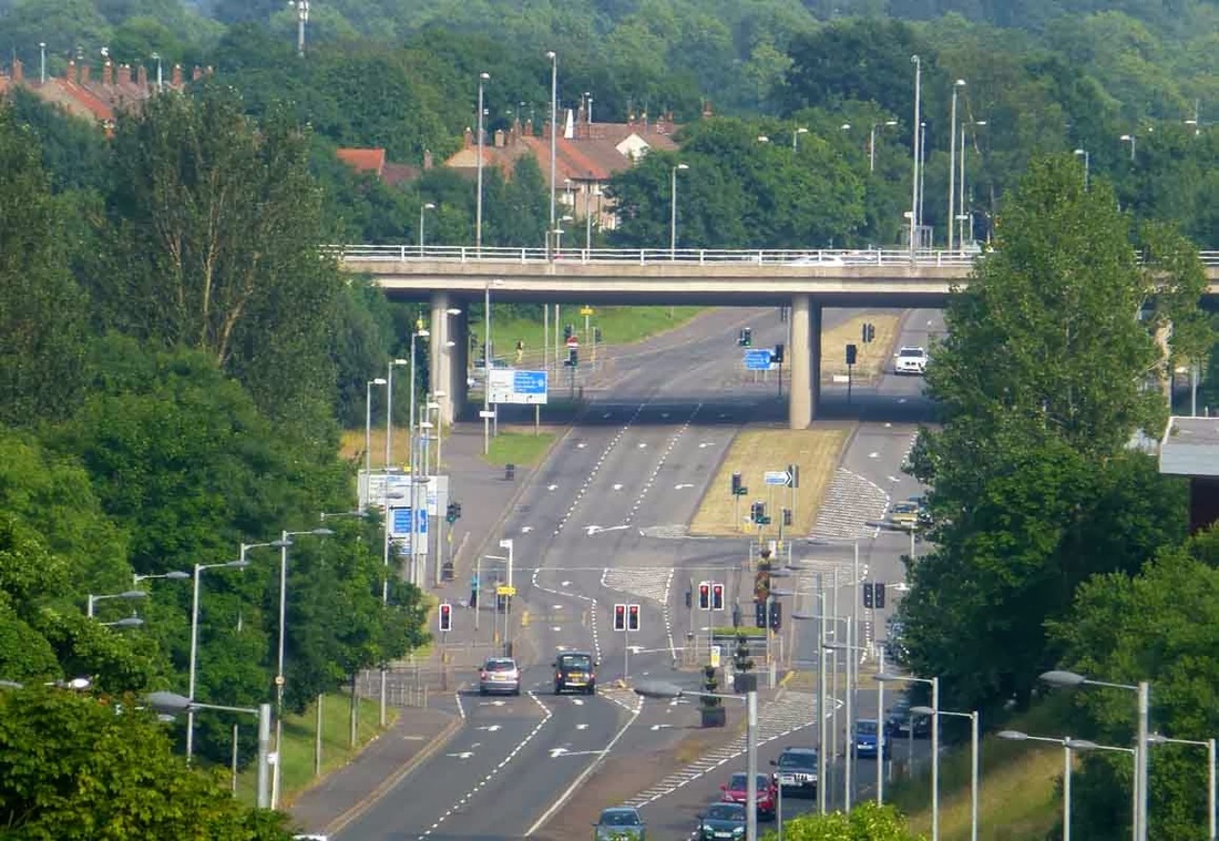
Nitshill road in daytime. Much quieter.
South Nitshill from the old water tower concrete base ( now demolished) in the heart of Priesthill. Used to be a wild place this of an evening but now its been transformed into a genuine wilderness zone with the top of the bare summit getting a fast growing canopy of young trees and grasslands with a few bike/walking trails leading through it. Intrepid effort driving a stolen car up here.
Content Taken From http://blueskyscotland.blogspot.co.uk
